No products
Guide Books
- Latest Releases
- Signed Copy Event Pre-orders
- Orkney Guidebooks, Travel Books & Maps
- Calendars, Gifts & Souvenirs
- Orkney Christmas Cards
- Orkney Fiction, Poetry, Folklore & Myths
- George Mackay Brown
- Children's
- Local Author - non-Orkney Related Titles
- Orkney Life, People & Places
- Orkney History
- Maritime
- Photos, Art, Music, Food & Sport
- Nature
- Shetland Books & Maps
- Sale
- 'The Orcadian' Subscriptions
Viewed products
-

Walks Orkney
Walks Orkney includes 40 walks graded from...
 View larger

Walks Orkney
9781872405407
New product
Walks Orkney includes 40 walks graded from short strolls to long hikes.
Pocket walking guide, by Felicity Martin.
Paperback pocket-sized booklet.
- Remove this product from my favorite's list.
- Add this product to my list of favorites.
More info
The purpose of this book is to bring under one cover, as compactly as possible, a selection of the best walks in Orkney. The walks include cliff-top and beach walks, as well as routes through farmland and hill climbs- though never out of sight of the sea.
The guide contains routes on every island which can be reached by public transport.
Graded, short strolls to long hikes.
In length, the walks range from under a mile to nearly 15, from light strolls to strenuous hill climbs.
30 other products in the same category:
-
-
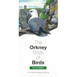
The Orkney Book of Birds - Pocket Edition
A unique volume that focuses solely on almost 200 birds you are most likely...
-
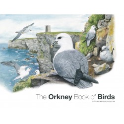
The Orkney Book of Birds
A unique volume that focuses solely on almost 200 birds you are most likely...
-
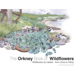
The Orkney Book of Wildflowers
Wildflowers by Habitat - from shore to hilltop. A unique and colourful...
-
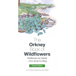
The Orkney Book of Wildflowers - Pocket Edition
Wildflowers by habitat - from shore to hilltop. A unique and colourful...
-
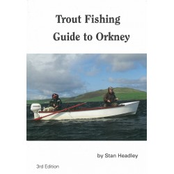
Trout Fishing Guide to Orkney
A fisherman's guide to the excellent trout fishing potential of the Orkney...
-
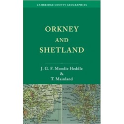
Orkney and Shetland: Cambridge County Geographies
Cambridge Country Geographies reissued 1920s Guide. By J.G.F Moodie Heddle...
-
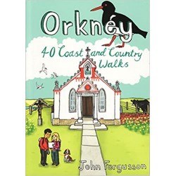
Orkney: 40 Coast and Country Walks
A pocket size guide with 40 coast and country walks all over Orkney. By John...
-
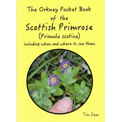
The Orkney Pocket Book of Scottish Primrose (Primula Scotica)
Including when and where to see them. Handy pocket-sized paperback book. By...
-
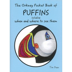
The Orkney Pocket Book of Puffins
Including when and where to see them. Handy pocket-sized paperback book. By...
-
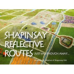
Shapinsay Reflective Routes
We at Shapinsay Kirk believe that our island is an ideal place for quiet...
-
Skara Brae: Official Souvenir Guide.
Skara Brae official souvenir guide book. From Historic Scotland.
-
The Orkney Pocket Book of the Orkney Vole
This is the third book in the handy 'The Orkney Pocket Book' series by Tim...
-
Orkney: Megalithic Marvel of the Northern Isles
The history and the mystery of Orkney. Small paperback. By Hector McDonnell
-
Rendall: An Undiscovered Parish
This guide offers the opportunity to enjoy a few hours in Rendall and to...
-
-
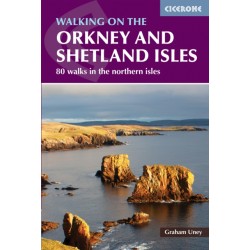
Orkney & Shetland - OS Pathfinder Book - Outstanding Circular Walks
Ordnance Survey Pathfinder series. Outstanding Circular Walks in Orkney &...
-
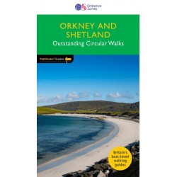
Orkney Environment Walks
A map/guide to eight easy to follow walks of varying length and difficulty...
-
-
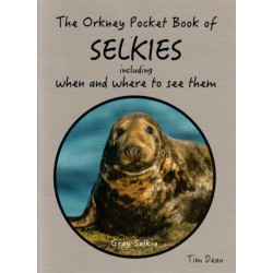
The Orkney Pocket Book of Selkies
Including when and where to see them. Handy pocket-sized paperback book. By...
-
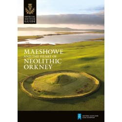
Maeshowe and The Heart of Neolithic Orkney
Official souvenir guide from Historic Scotland. Paperback.
-

Orkney - Pocket Rough Guide
All you need to make the most of your trip to Orkney. - What to see and when...
-
-
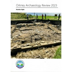
Orkney Archaeology Review 2023
The 2023 Review covers work done at the Ness of Brodgar and others, by...
-
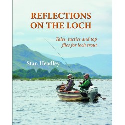
Reflections on The Loch
Tales, tactics and top flies for loch trout. Through his articles in Trout...
-
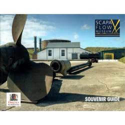
Scapa Flow Museum Souvenir Guide
The Museum’s role is to chart Orkney’s military involvement in the First and...
-
-

FREE Orkney Islander Magazine 2025
A free magazine promoting Orkney's culture and attractions, giving you a...
-
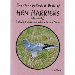
The Orkney Pocket Book of Hen Harriers
Including when and where to see them. Handy pocket-sized paperback. By Tim Dean.