No products
Orkney Maps
- Latest Releases
- Signed Copy Event Pre-orders
- Orkney Guidebooks, Travel Books & Maps
- Calendars, Gifts & Souvenirs
- Orkney Christmas Cards
- Orkney Fiction, Poetry, Folklore & Myths
- George Mackay Brown
- Children's
- Local Author - non-Orkney Related Titles
- Orkney Life, People & Places
- Orkney History
- Maritime
- Photos, Art, Music, Food & Sport
- Nature
- Shetland Books & Maps
- Sale
- 'The Orcadian' Subscriptions
Viewed products
-

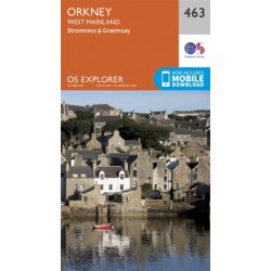
Orkney - West Mainland...
Ordnance Survey Explorer Series Map. ACTIVE -...
 View larger


Orkney - West Mainland - 463 - OS Explorer ACTIVE Map
9780319473153
New product
Ordnance Survey Explorer Series Map.
ACTIVE - Weatherproof fully laminated version.
Orkney - West Mainland - covering Stromness & Graemsay.
1:25 000
4cm to 1km - 2 1/2 inches to 1 mile
Now includes mobile download.
Standard Version available here.
- Remove this product from my favorite's list.
- Add this product to my list of favorites.
More info
Whatever you're looking to do, this OS Explorer map will give you the outstanding level of detail you'd expect from OS. With clear markings of roads, public rights of way, paths and tracks, cycle ways and areas of open access land, alongside our familiar tourist information, you get all the detail you need to make the most of the Great British outdoors.
Standard Version available here.
25 other products in the same category:
-
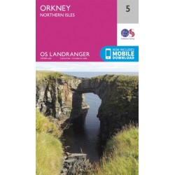
Orkney - Northern Isles - 5 - OS Landranger Map
Ordnance Survey Landranger Series Map. Orkney - Northern Isles. 1:50 000 2cm...
-
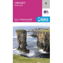
Orkney - Mainland - 6 - OS Landranger Map
Ordnance Survey Landranger Series Map. Orkney - Mainland. 1:50 000 2cm to 1km...
-
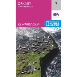
Orkney - Southern Isles - 7 - OS Landranger Map
Ordnance Survey Landranger Series Map. Orkney - Southern Isles. 1:50 000 2cm...
-
Orkney - Northern Isles - 5 - OS Landranger ACTIVE Map
Ordnance Survey Landranger Series Map. ACTIVE - Weatherproof fully laminated...
-
Orkney - Mainland - 6 - OS Landranger ACTIVE map
Ordnance Survey Landranger Series Map. ACTIVE - Weatherproof fully laminated...
-
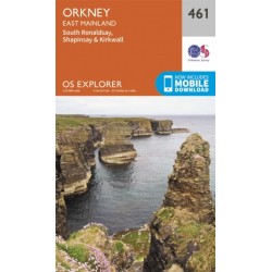
Orkney - East Mainland - 461 - OS Explorer ACTIVE Map
Ordnance Survey Explorer Series Map. ACTIVE - Weatherproof fully laminated...
-
Orkney - Hoy, South Walls and Flotta - 462 - OS Explorer ACTIVE Map
Ordnance Survey Explorer Series Map. ACTIVE - Weatherproof fully laminated...
-
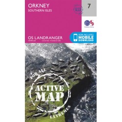
Orkney - Southern Isles - 7 - OS Landranger ACTIVE Map
Ordnance Survey Landranger Series Map. ACTIVE - Weatherproof fully laminated...
-
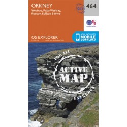
Orkney - Westray, Papa Westray, Rousay, Egilsay and Wyre - 464 - OS Explorer...
Ordnance Survey Explorer Series Map. ACTIVE - Weatherproof fully laminated...
-
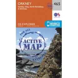
Orkney - Sanday, Eday, North Ronaldsay and Stronsay - 465 - OS Explorer...
Ordnance Survey Explorer Series Map. ACTIVE - Weatherproof fully laminated...
-
Orkney - East Mainland - 461 - OS Explorer Map
Ordnance Survey Explorer Series Map. Orkney - East Mainland - covering South...
-
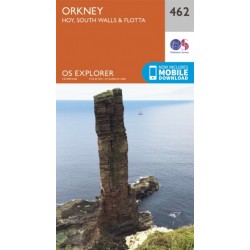
Orkney - Hoy, South Walls and Flotta - 462 OS Explorer Map
Ordnance Survey Explorer Series Map. Orkney - covering Hoy, South Walls &...
-
Orkney - West Mainland - 463 - OS Explorer Map
Ordnance Survey Explorer Series Map. Orkney - West Mainland - covering...
-
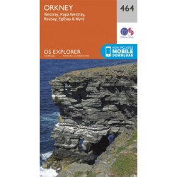
Orkney - Westray, Papa Westray, Rousay, Egilsay and Wyre - 464 - OS Explorer Map
Ordnance Survey Explorer Series Map. Orkney - covering Westray, Papa Westray,...
-
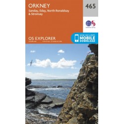
Orkney - Sanday, Eday, North Ronaldsay, Stronsay - 465 - OS Explorer Map
Ordnance Survey Explorer Series Map. Orkney - covering Sanday, Eday, North...
-
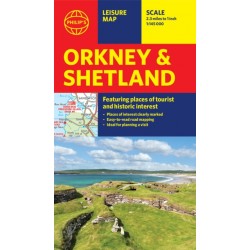
Philip's Orkney & Shetland Leisure Map
Leisure and tourist map featuring places of tourist and historic interest....
-

Northern Scotland, Orkney & Shetland - 1 - OS Road Map
Ordnance Survey Map. Northern Scotland, Orkney & Shetland, 1, OS Road...
-
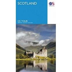
Scotland - OS Tour Map
Ordnance Survey Tour Map Scotland, including islands 1:500 000 scale 1cm to...
-
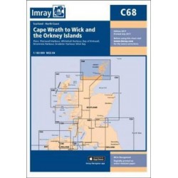
Imray Chart C68: Cape Wrath to Wick and the Orkney Islands
Plans included:Pierowall Harbour (1:40 000), Whitehall Harbour (1:25 000),...
-
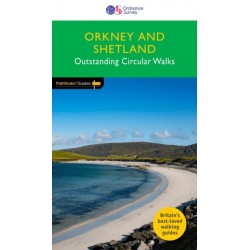
Orkney & Shetland - OS Pathfinder Book - Outstanding Circular Walks
Ordnance Survey Pathfinder series. Outstanding Circular Walks in Orkney &...
-
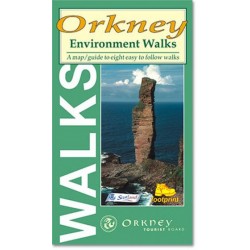
Orkney Environment Walks
A map/guide to eight easy to follow walks of varying length and difficulty...
-
-
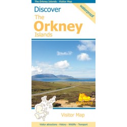
Footprint Discover The Orkney Islands Map
Visitor Map Visitor attractions - History - Wildlife - Transport This map is...
-
-
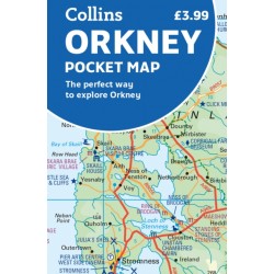
Orkney Pocket Map - Collins
Collins Orkney Pocket Map. The perfect way to explore Orkney. Clear mapping...