No products
Categories
- Latest Releases
- Signed Copy Event Pre-orders
- Orkney Guidebooks, Travel Books & Maps
- Calendars, Gifts & Souvenirs
- Orkney Christmas Cards
- Orkney Fiction, Poetry, Folklore & Myths
- George Mackay Brown
- Children's
- Local Author - non-Orkney Related Titles
- Orkney Life, People & Places
- Orkney History
- Maritime
- Photos, Art, Music, Food & Sport
- Nature
- Shetland Books & Maps
- Sale
- 'The Orcadian' Subscriptions
Top sellers
-
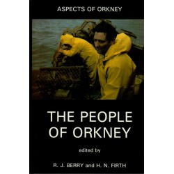
The People of Orkney
Aspects of Orkney. This is one of the most comprehensive books ever written about the Orkney Islands, covering their archaeology and history, and the characteristics and way of life of the island people through the centuries. It is the result of a combined effort of a team of scholars from various disciplines. Edited by R. J. Berry and H. N. Firth. Hardback.
£ 15.00 -
The Orkney Chicken Saga
Dreaming of life beyond the barnyard, Charlie the chicken leaves the safety of his Orkney farm to explore a world of sparkling seas, towering cliffs and hidden dangers. Orcadian Version. With full colour pictures, Orcadian dialect and an original song and video to download. From Wild Spark Publishing.
£ 9.99 -
Beside The Ocean of Time
In this novel set on the fictitious island of Norday in the Orkneys, George Mackay Brown beckons us into the imaginary world of the young Thorfinn Ragnarson, the son of a crofter. John Murray Classics Edition, with a new foreword by Amy Liptrot. Shortlisted for the Booker Prize 1994. Winner of the Saltire Society Literary Award 1994. By George Mackay...
£ 10.99 -
Alexander Ruddach (1758 - 1811)
'An Orcadian Seafarer in Peace and War'. Research by Dr Ray Fereday with assistance of John H Ballantyne Further Researched and Written by Spencer J Rosie Paperback.
£ 15.00 -
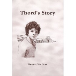
Thord's Story
A busy year in the life of a boy who lives at Kirbuster in Birsay in the late 16th century. By Margaret Tait Flaws. With illustrations by Bridget Woodford. Paperback.
£ 5.00 -
United Through Sport
Orkney v Shetland - the story of the Junior Inter-County. 1947-2008. The Junior Inter County Sports is a unique annual contest between Orkney and Shetland, in which youngsters under the age of 18 proudly represent their island group against the "auld enemy". By Jockie Wood. Hardback.
£ 23.99 -
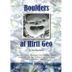
Boulders at Hirti Geo
Selected poems, newspaper and magazine articles, plays, short stories, children's stories, essays and observations: 1966-2007. From Papa Westray-based writer Jim Hewitson.
£ 9.99 -
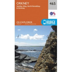
Orkney - Sanday, Eday, North Ronaldsay,...
Ordnance Survey Explorer Series Map. Orkney - covering Sanday, Eday, North Ronaldsay & Stronsay. 1:25 000 4cm to 1km - 2 1/2 inches to 1 mile Now includes mobile download. Active Waterproof Version available here.
£ 12.99 -
Drawing and Painting Birds
Tim Wooton explains in detail how to go about drawing and painting birds. Tim has been watching and drawing birds since childhood. He now lives in the Orkney Islands.
£ 18.99 -
Orkney - Mainland - 6 - OS Landranger...
Ordnance Survey Landranger Series Map. ACTIVE - Weatherproof fully laminated version. Orkney - Mainland. 1:50 000 2cm to 1km - 1 1/4 inches to 1 mile Now includes mobile download. Standard Version available here.
£ 16.99 -
Orkney - Southern Isles - 7 - OS...
Ordnance Survey Landranger Series Map. ACTIVE - Weatherproof fully laminated version. Orkney - Southern Isles. 1:50 000 2cm to 1km - 1 1/4 inches to 1 mile Now includes mobile download. Standard Version available here.
£ 16.99 -
Orkney - Westray, Papa Westray, Rousay,...
Ordnance Survey Explorer Series Map. ACTIVE - Weatherproof fully laminated version. Orkney - covering Westray, Papa Westray, Rousay, Egilsay & Wyre. 1:25 000 4cm to 1km - 2 1/2 inches to 1 mile Now includes mobile download. Standard Version available here.
£ 16.99

