
Snow and ice to be expected following Storm Caroline
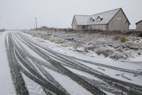
The Met Office have forecasted snow and ice for the next few days, with temperatures expected to drop as Storm Caroline moves onwards to Scandanavia.
According to recordings taken in Kirkwall, wind speeds peaked at 76 mph today, Thursday, with a mean speed of around 45mph. Wild weather conditions have been witnessed throughout the county, with flooding affecting the East Mainland and linked South Isles. Power cuts have been reported in Shapinsay and Northlink Ferries vessel Hamnavoe remains stormbound, with attempts to dock in Stromness called off until tomorrow.
Though an amber weather warning remains in place until midnight tonight, the MET office have advised that wind conditions are expected to drop by tomorrow morning. A yellow weather warning will still be in place, due to the likelihood of snow and ice over the course of Friday and Saturday. Orkney Islands Council have confirmed that all schools will remain shut tomorrow, in light of these conditions.
“During winter weather which brings snow showers, it is not uncommon for snow amounts to vary considerably across short distances,” said a Met Office spokesperson.
“On Friday and Saturday, the snow showers could lead to snow accumulations which vary markedly across the warning area. Strong northwest winds may cause drifting of the snow in places with blizzard conditions possible across northern Scotland.”