
Orkney to miss the worst of hurricane Ophelia fallout
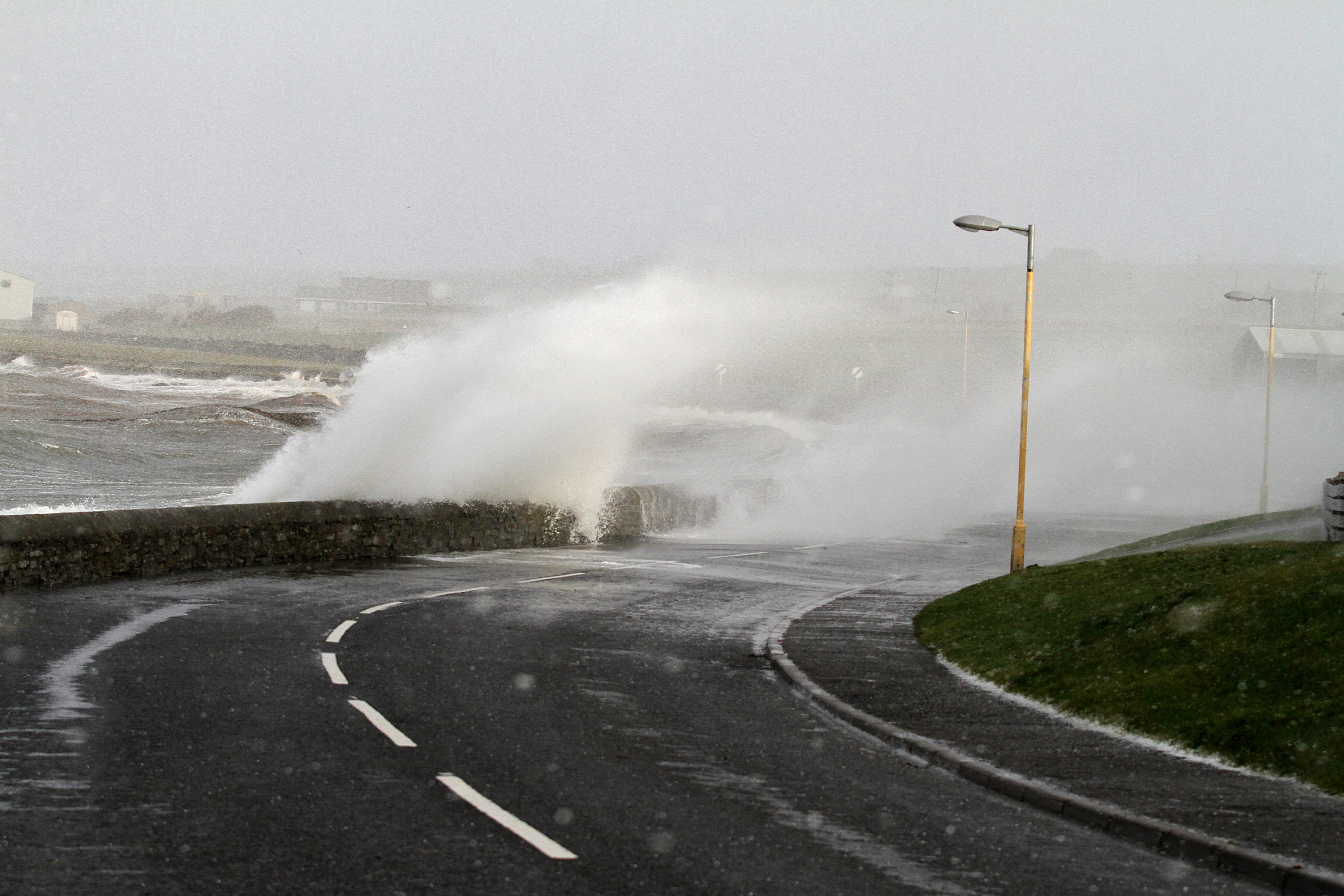
While the UK braces itself for the impact of the remnants of hurricane Ophelia, Orkney looks set to experience gale force winds with some possible ferry disruptions.
In other words, nothing we’re not used to.
The Met office has issued an amber warning for Northern Ireland, west Wales, south west Scotland and the Isle of Man, with winds of 80mph expected.
Other areas throughout the UK have been issued with a yellow warning.
The Republic of Ireland is expected to be worst hit and the government has deployed the army there.
Rousay astronomer and weather watcher John Vetterlein said: “This is the strongest hurricane to appear in the mid-eastern Atlantic since records began.
“From its position some 800 miles off the North African coast, the depression has moved rapidly on a roughly NNE path that will bring its centre over Orkney by about 6am BST on Tuesday morning, October 17.
“By then the strongest winds may be expected to have dropped to force nine with direction changing significantly with time.
“Wind strength is expected to fall off rapidly into late the late evening and night of Tuesday.”
Mr Vetterlein added: “The worst affected areas are, and will be the whole of Ireland, north St George’s Channel (NW Wales and NW England) with Scotland’s central belt experiencing very strong winds later today through into early Tuesday morning.
“The storm has fluctuated between a category one and two hurricane and is expected to drop below hurricane status by early evening today, Monday.”